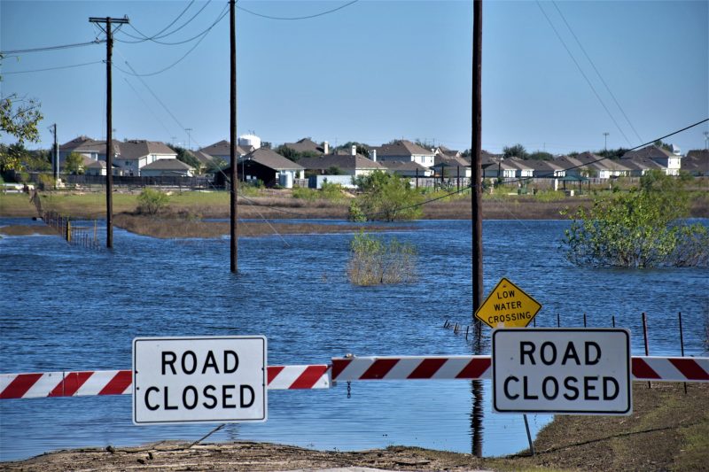
Flooding along the U.S. West Coast is often driven by atmospheric rivers—narrow corridors of concentrated moisture that deliver much-needed precipitation but can also trigger severe disasters. While storm intensity plays a role, a new study highlights that surface conditions, particularly soil moisture, are critical in determining flood severity.
Published in the Journal of Hydrometeorology, the study analyzed 43,000 atmospheric river events across 122 watersheds in the western U.S. from 1980 to 2023. Researchers found that when soil was already moist prior to rainfall, the resulting flood peak was on average 2 to 4.5 times higher than when the ground was dry. This insight explains why weaker storms can sometimes cause major flooding, while stronger ones may not—depending on whether the rain falls on saturated ground.
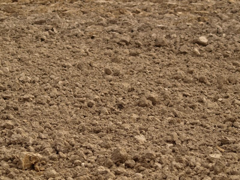
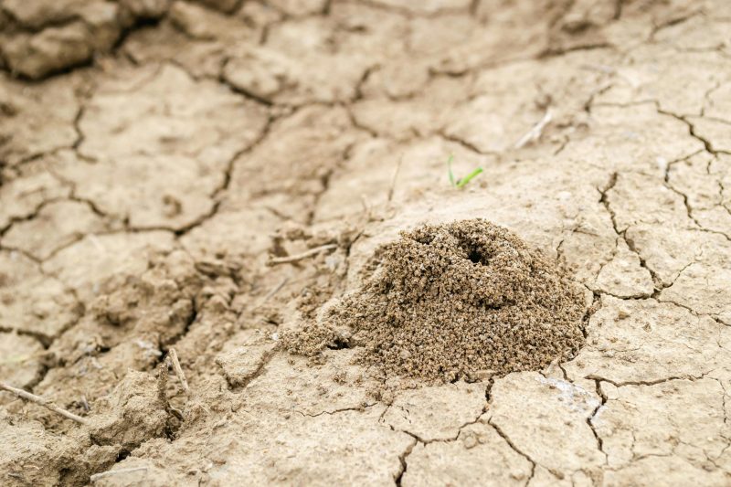
The study also reveals regional differences. In arid areas like California and southwestern Oregon, where shallow clay-rich soils and high evaporation rates limit water retention, soil moisture levels fluctuate sharply. Once saturated, these soils are prone to rapid flooding. In contrast, wetter regions like Washington State and mountain ranges such as the Cascades and Sierra Nevada benefit from deeper soils and snowpack, making them less sensitive to soil moisture changes.
The researchers emphasize that flood forecasting must consider both storm intensity and critical soil moisture thresholds. With modern weather systems now able to predict atmospheric rivers days in advance, integrating real-time soil moisture data could greatly improve early warning systems. The findings mark a significant step forward in interdisciplinary flood risk assessment and management.
Soil Moisture Found to Be Key Predictor of US West Coast Flood Severity
Tags
Tens of millions of years before humans developed agriculture, termites had already evolved advanced farming systems—cultivating fungi inside their nests as a primary food source. Much like human farmers, these…
A research team from Rice University and Baylor College of Medicine has developed a groundbreaking method for detecting soil pollutants, capable of identifying harmful substances that have never been isolated…

A study led by McGill University in Canada warns that millions of kilometers of rivers worldwide are contaminated with antibiotics at levels high enough to exacerbate antimicrobial resistance and harm…
A groundbreaking study published in Science reveals that terrestrial water storage—comprising groundwater, soil moisture, and surface water—has been declining at an alarming rate since the start of the 21st century,…

Soil-Based Thermal Storage Emerges as Promising Solution for Energy Efficiency and Grid Relief
As the heating season concludes, scientists are turning their attention to innovative methods of energy storage. A recent study by Kaunas University of Technology (KTU) in Lithuania suggests that soil…